Log in
All resources
Create a design
Tools
4,032 Free Images of World Map
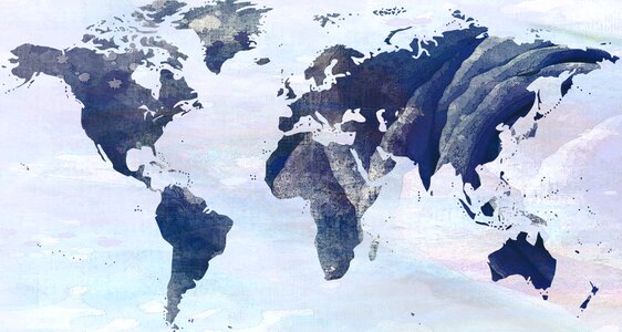
maps
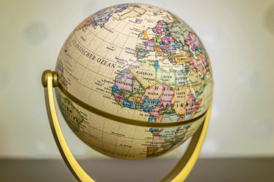
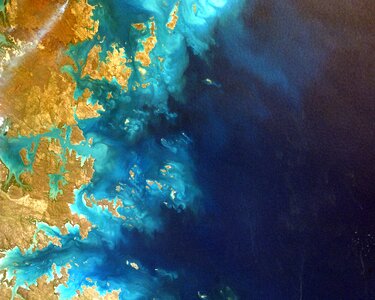
earth
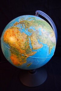
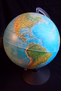
globe
planet
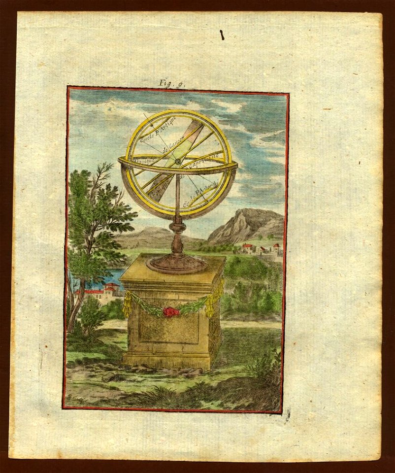
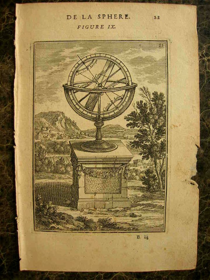
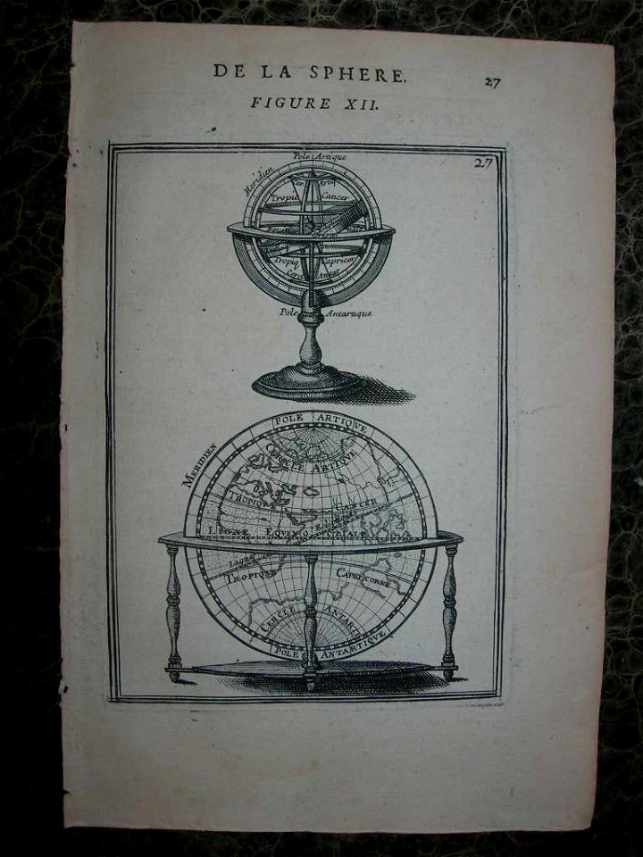
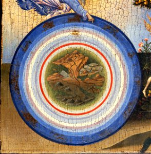
description de l'universe
global
geography
world globe
continent
sphere
description de l'universe
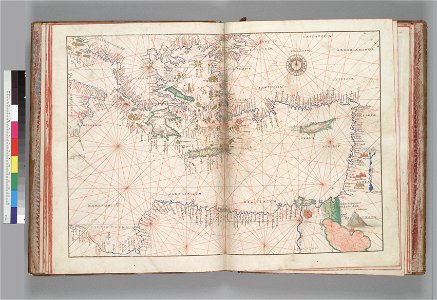
1680s maps of the world
1490s maps of the world
hartmann schedel
old map
symbol
maps
popular science monthly illustrations/volume 16
ancient greek maps of the world
maps from gallica
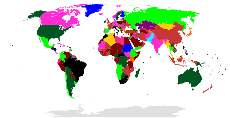
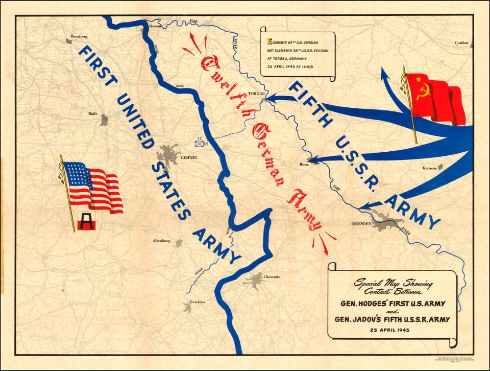
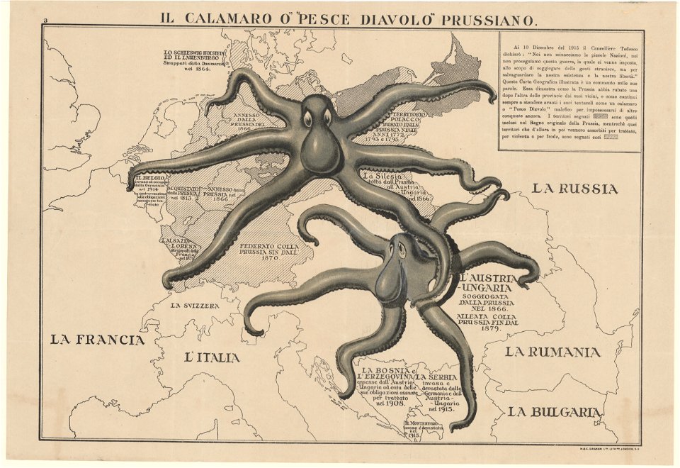
propaganda map
earth
maps
earth
maps
15th-century maps of the world
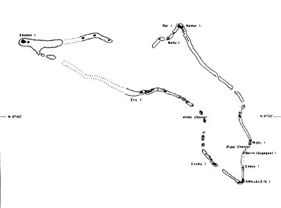
kwajalein atoll during world war ii
maps of kwajalein atoll
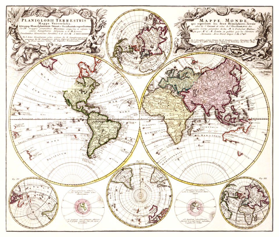
description de l'universe
1710s maps of the world
el puerto de santa maría
juan de la cosa
18th-century maps of the world
description de l'universe
airplane
earth
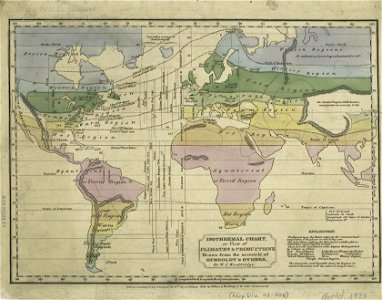
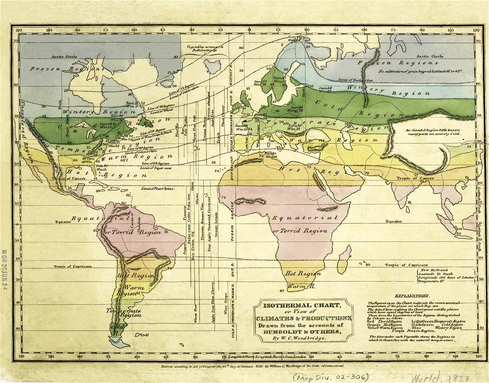
old weather and climate maps
1880 maps
images from the new york public library
old weather and climate maps
planet
maps
images from the new york public library
old weather and climate maps
earth
maps
planet
maps
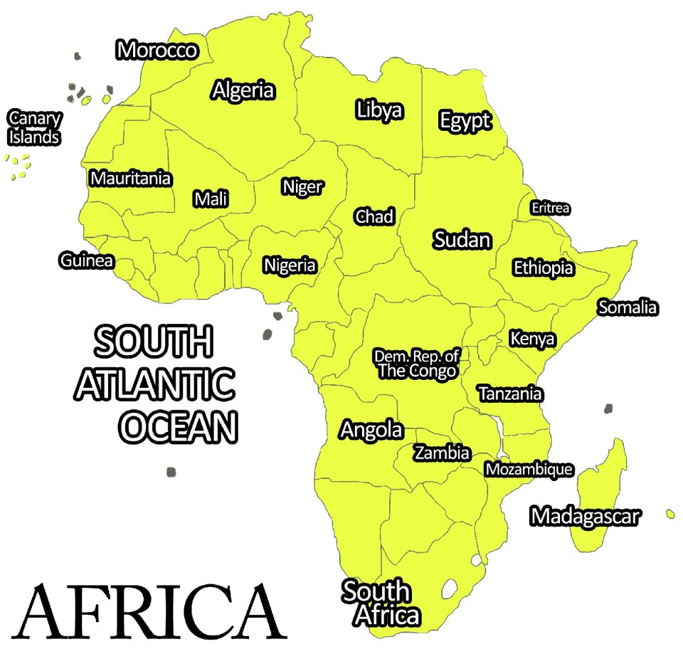
africa
planet
planet
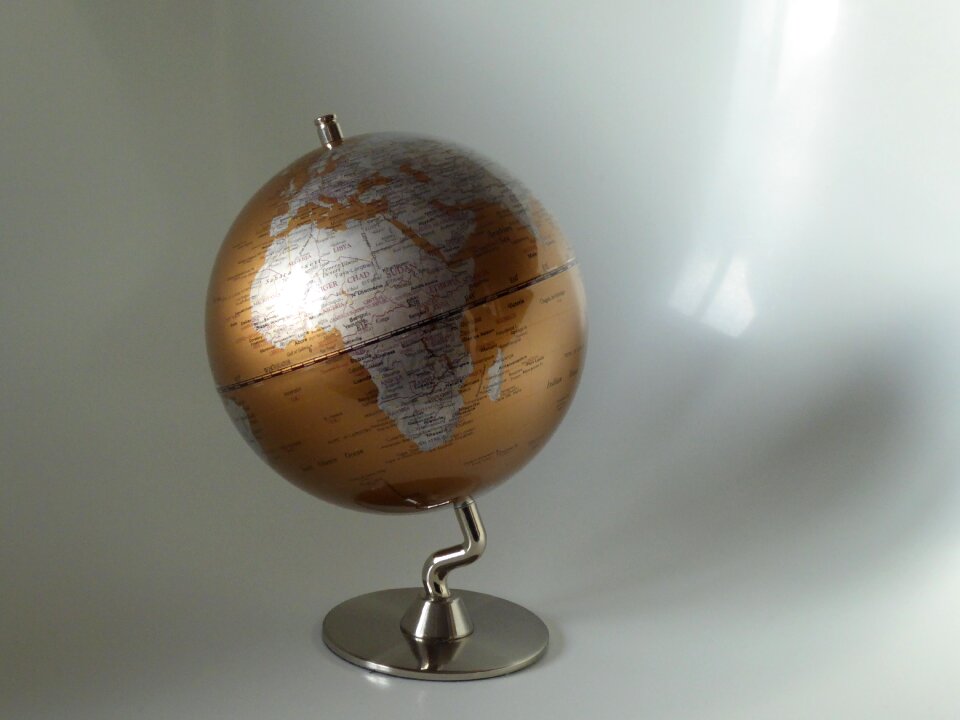
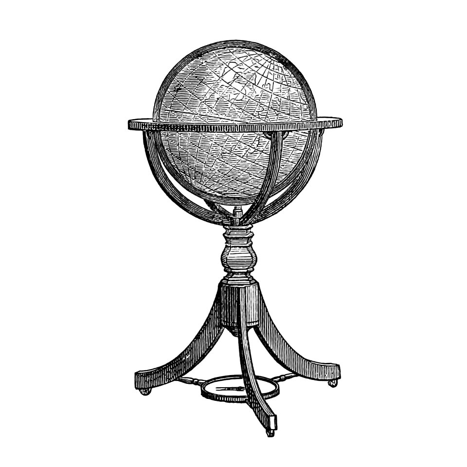
globe
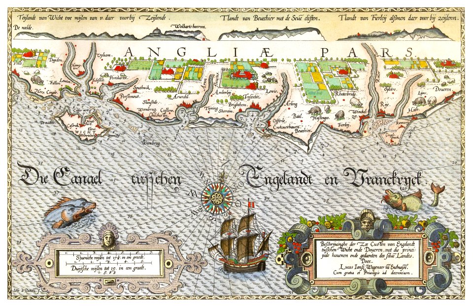
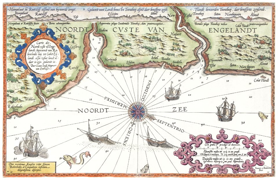
maps by frederick de wit
1662
pirate
maps
description de l'universe
1680s maps of the world
18th-century maps of the world
description de l'universe
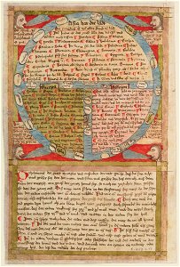
ms. ludwig xv 4 (getty museum) - bird book of hugo fouilloy
13th-century maps of the world
description de l'universe
1710s maps of the world
description de l'universe
1680s maps of the world
description de l'universe
old maps of the world
vintage
maps
illustration
maps
old maps of the middle east
old maps of greece
national anthem
continent
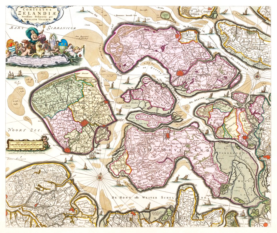
claes jansz. visscher (ii)
1650s maps of the world
peace
dove
earth
maps
creatures
animals
world
maps
planet
maps
1590s maps of the world
frans hogenberg
illustration
maps
maps
ball
17th-century maps of the world
description de l'universe
travel
maps
images from the new york public library
alexander von humboldt
christopher columbus
ferdinand magellan
ukiyo-e by unknown artists
nagasaki-e
ukiyo-e by unknown artists
nagasaki-e
cornell: persuasive cartography: the pj mode collection
1681 maps
description de l'universe
1680s maps of the world
historical images of arecaceae
old maps of north america
maps of world war ii
africa
maps
cornell university library
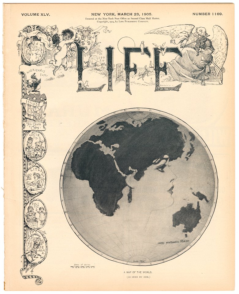
gibson girl
background
maps
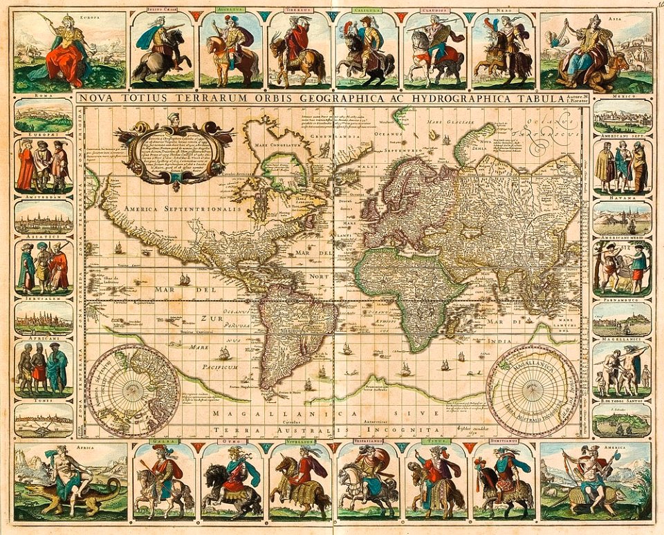
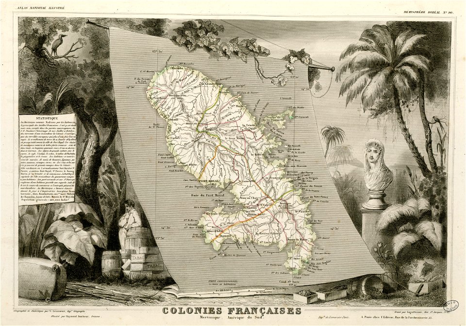
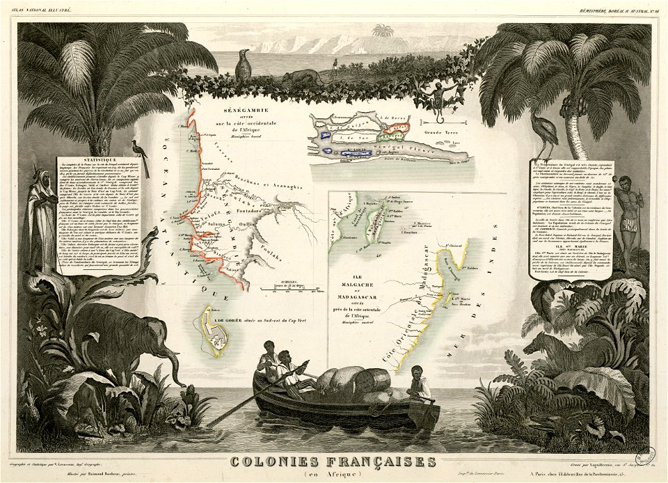
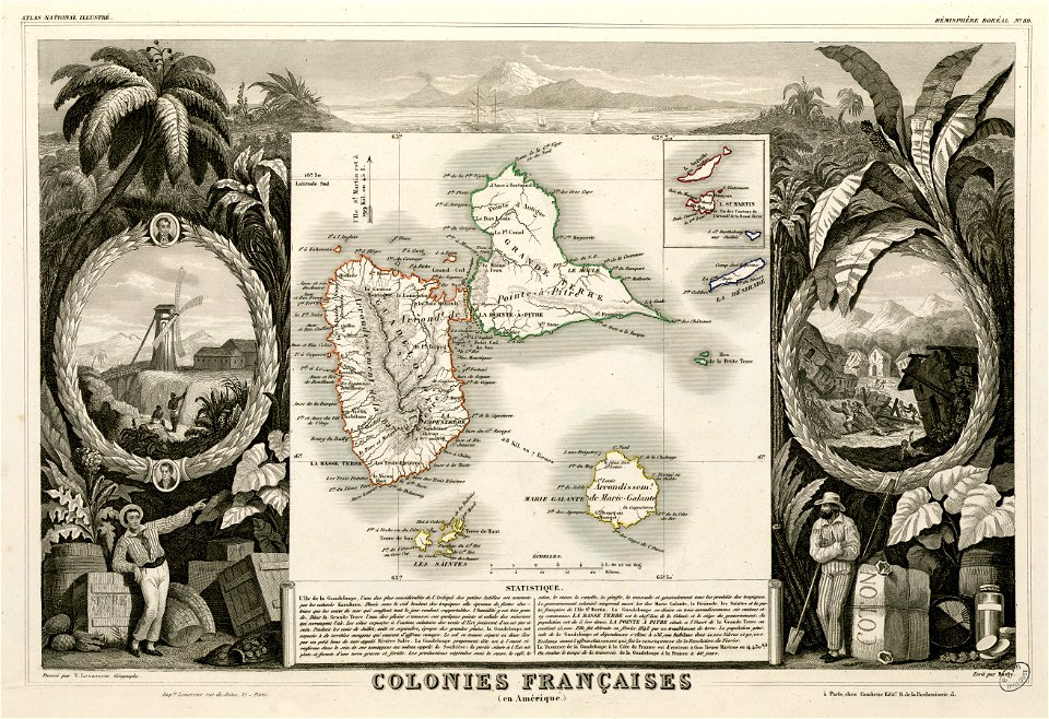
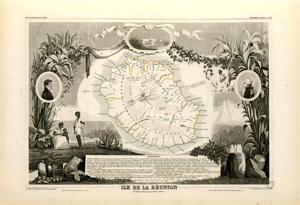
victor levasseur - maps of the world
frédéric-auguste laguillermie
ocean
maps
africa
maps
old maps of austria-hungary
austro-hungarian army
world
maps
victor levasseur - maps of the world
old maps of senegal
africa
maps
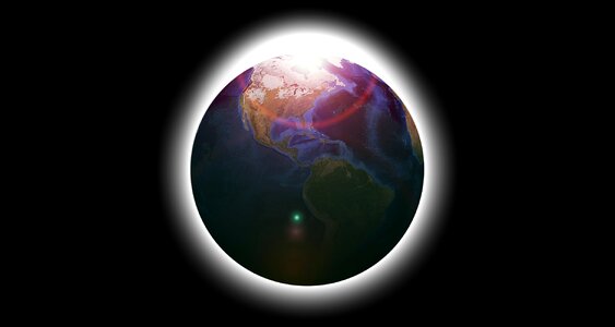
planet
earth
earth
globe
earth
globe
1934 stamps of the united states
blue stamps
earth
maps
nature
maps
earth
maps
maps
ball
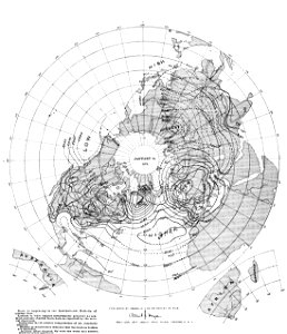
geocentric model
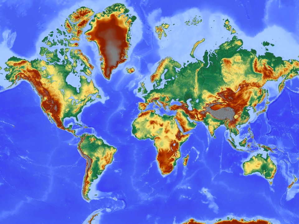
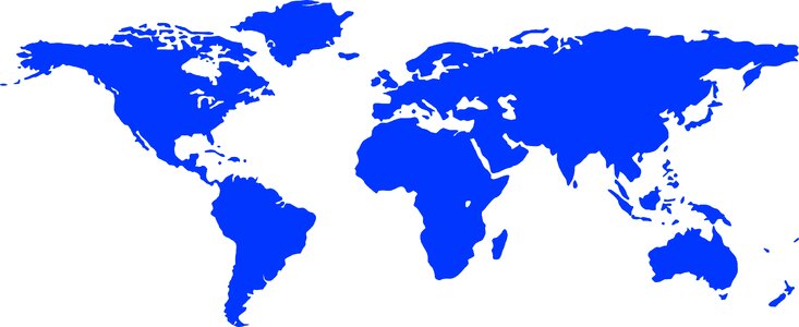
world map
maps
sea
cornell university library
gibson girl
earth
maps
world map
camera
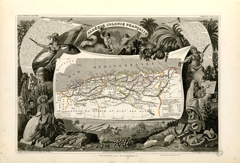
old maps of algeria
french algeria
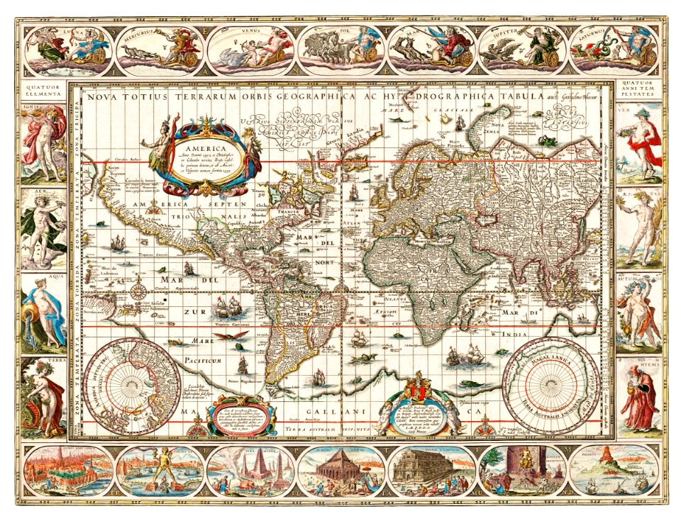
atlantis magni tomus primus (biblioteca comunale di trento)
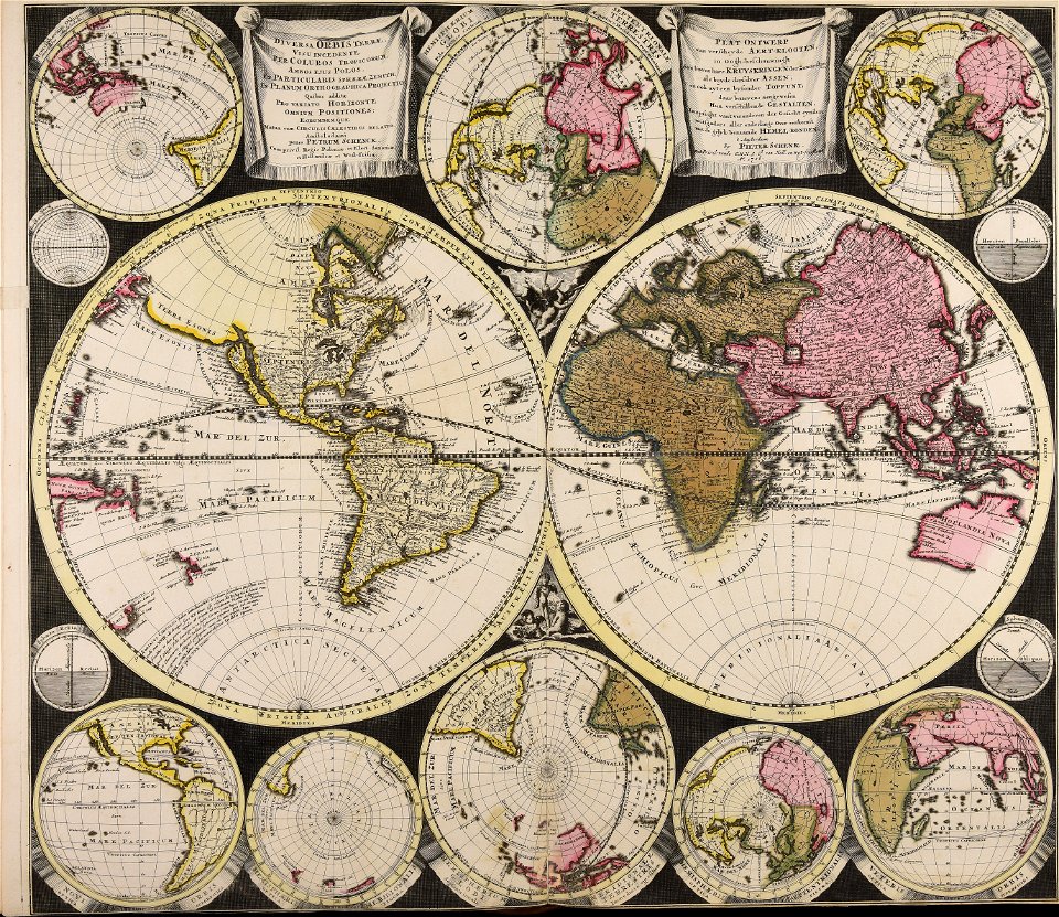
maps by pieter schenk (i)
travel
maps
ukiyo-e by unknown artists
1870s maps of the world
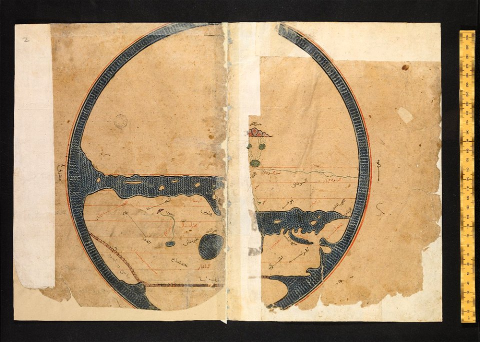
arabic-language manuscripts
bodleian library
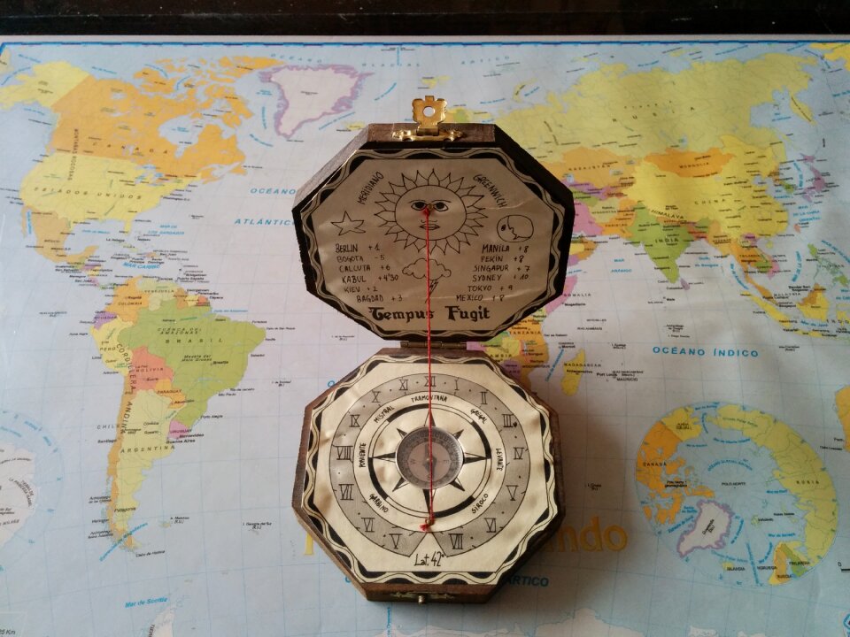
compass
gold
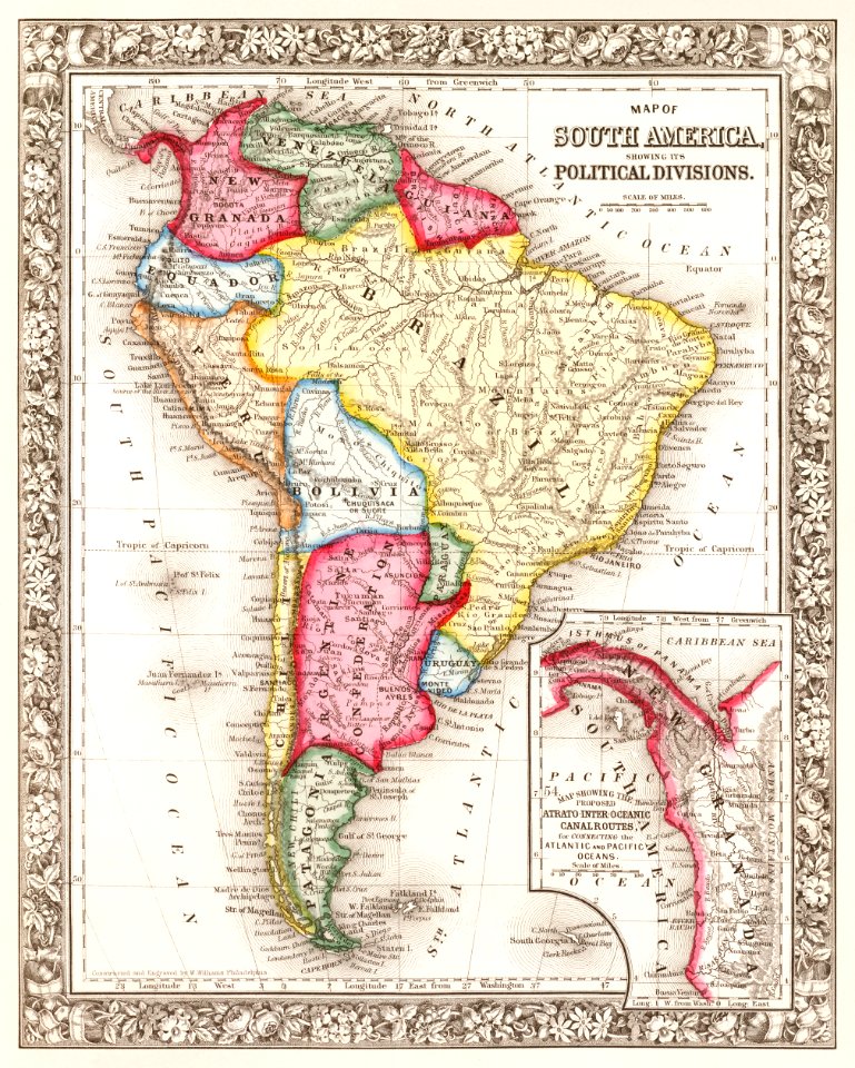
brazil
maps
earth
maps
travel
maps
earth
maps
africa
maps
old maps of the world
1880 maps
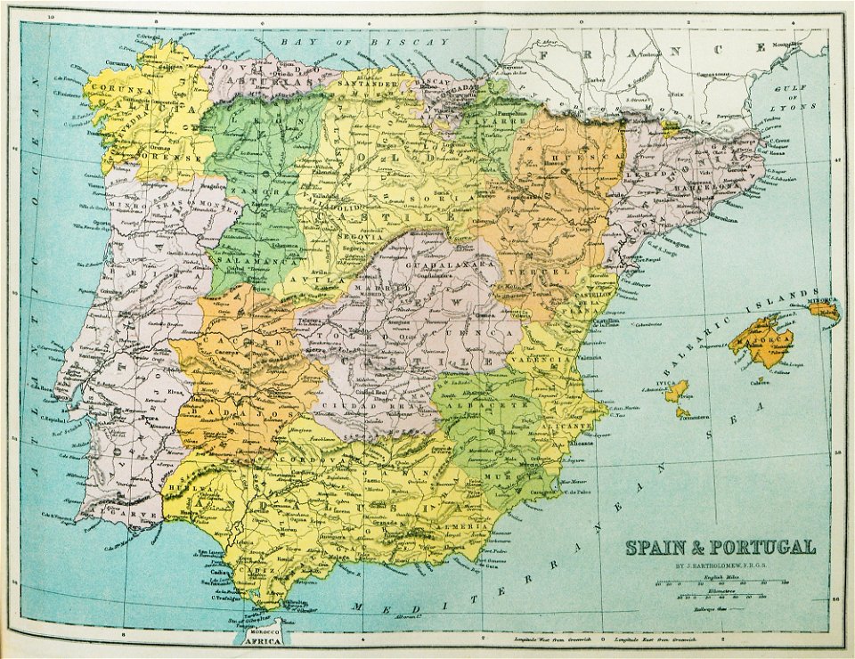
old maps of the iberian peninsula
1870 in spain
travel
maps
world map
maps
china
earth
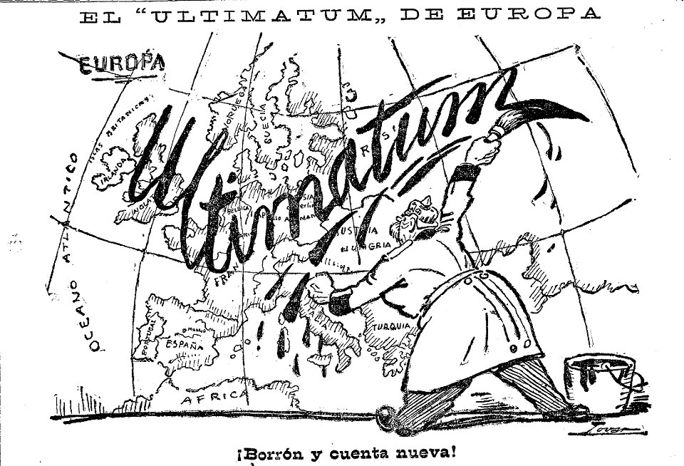
caricatures by manuel tovar in el imparcial
1914
camera
book
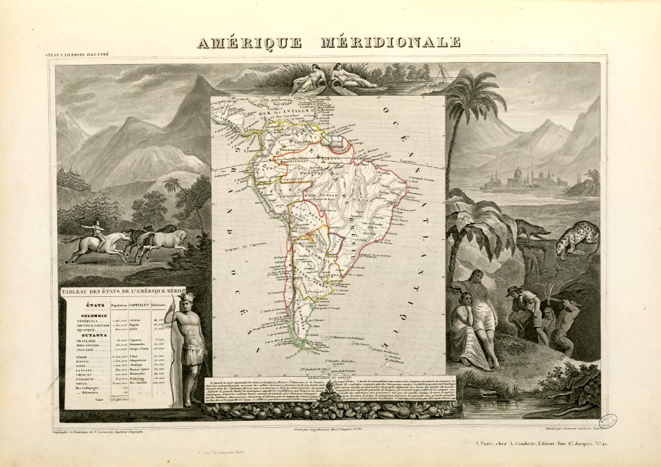
victor levasseur - maps of the world
historical images of arecaceae
maps by nicolaes visscher i
claes jansz. visscher (ii)
fonds ancely - bibliothèque municipale de toulouse - maps
victor levasseur - maps of the world
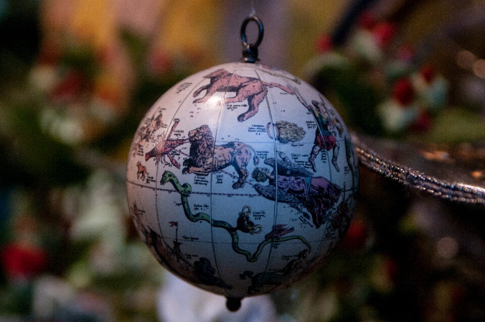
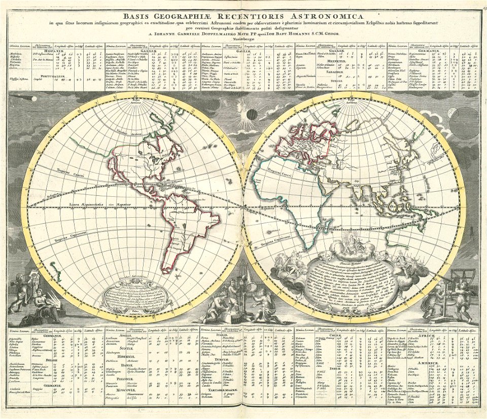
„atlas coelestis in quo mundus spectabilis“ by j.b. doppelmayr
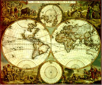
double hemisphere world maps
old celestial maps
gerard valck
victor levasseur - maps of the world
old maps of réunion
401 - 500 of 4,032
Next page
/ 41